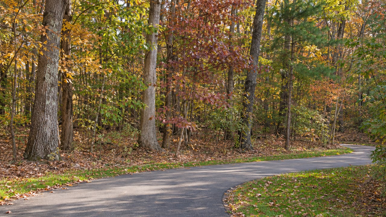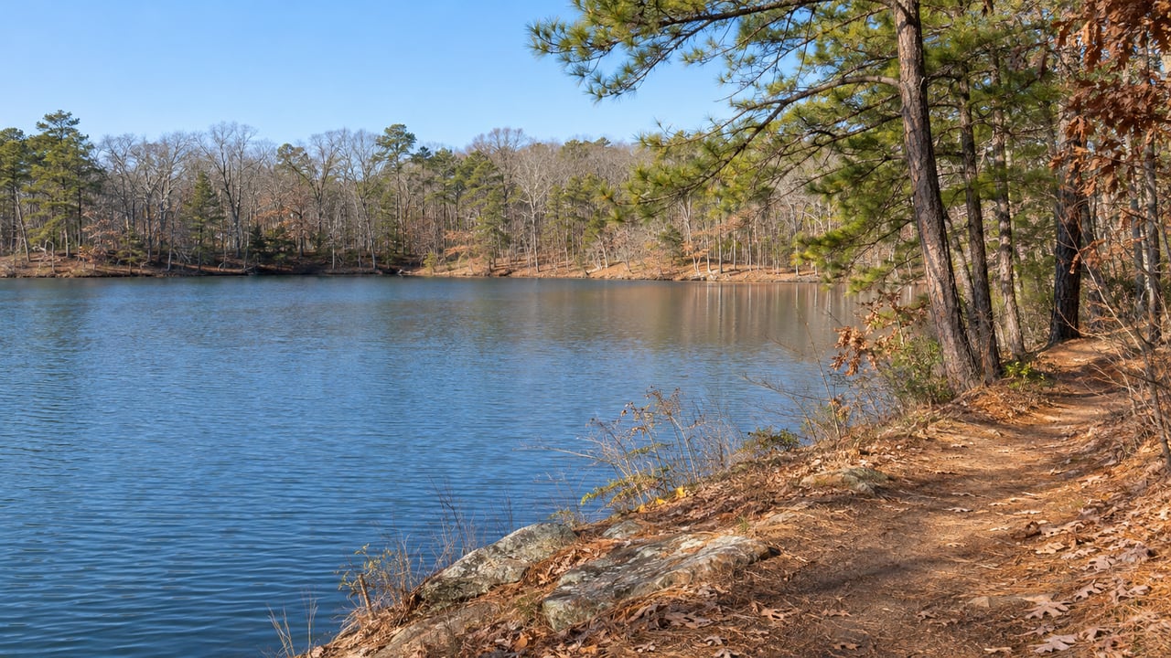
On Old Falls of the Neuse Road, just before the Neuse River bridge, two driveways split off. Turn right at the "Neuse River Trail" sign and a paved drive brings you to a City of Raleigh greenway lot. Turn left and you end up in the Army Corps of Engineers' Falls Tailrace Fishing Area lot at the base of Falls Lake Dam. The left lot is the start of a woodland trail with a real climb that winds along the lake's coves. The right lot is the start of a paved greenway that follows the river south. The two trails meet at the dam, and Wake Forest has its own paved route down to the river side.
The left turn: Day Hike A and the lakeshore trail
The Mountains-to-Sea Trail runs about 60 miles along the south shore of Falls Lake, starting at the Tailrace Fishing Area and ending at Penny's Bend Nature Preserve. Road crossings divide it into day hikes. The Friends of the Mountains-to-Sea Trail list the first one as Day Hike A, 3.6 miles from the Tailrace to Raven Ridge Road. In its first stretch you climb more than 100 feet in a third of a mile, which is a lot for the Piedmont. Past the Falls Lake Visitor Center, the trail goes in and out of coves along the water, and hikers can stop at the visitor center for restrooms or take a slightly shorter bypass through the woods. The Friends' listing also points out large exposures of Falls leucogneiss along the way, a rock unit with geological and historical significance for this part of North Carolina.
These are the day hikes closest to Wake Forest, with distances and land managers from each Friends of the Mountains-to-Sea Trail listing:
| Day hike | Endpoints | Miles | Land managers listed |
|---|---|---|---|
| A | Falls Lake Tailrace to Raven Ridge Road | 3.6 | Army Corps, Wildlife Resources Commission |
| F | Six Forks Road to Six Forks Road, through Blue Jay Point | 3.1 | Wake County Parks, Army Corps |
| G | Barton Creek boat ramp to NC 98 | 2.3 | Wildlife Resources Commission, Army Corps |
| H | NC 98 to Shinleaf Recreation Area | 3.0 | N.C. Parks, Wildlife Resources Commission |
| L | NC 98 to Rolling View Recreation Area | 3.4 | N.C. Parks, Wildlife Resources Commission, Army Corps |
| M | Rolling View to Little Lick Creek Bridge | 4.4 | N.C. Parks, Wildlife Resources Commission, Army Corps |
Barton Creek is the shortest of the six. About a half mile from its paved lot, a spur leads to a small beach in a cove. Just before NC 98, the path follows an old paved roadbed left over from before the lake and passes an old homestead marked by a large shade oak. Much of the land around Falls Lake is game land, and the Corps' Falls Lake trails page reminds hikers to wear bright clothing during hunting season.
Blue Jay Point, the lakeshore section inside a county park
The volunteer guide for Day Hike F calls it a popular stretch because it runs through Wake County's Blue Jay Point County Park, and the park's playgrounds, ball fields and picnic shelters sit near its midpoint. The guide also says it may have more benches per mile than any trail you'll ever hike, most of them built as Eagle Scout projects. A little over a mile in, a platform sits in a cove. The park has water and restrooms.
Blue Jay Point is at 3200 Pleasant Union Church Road. Its grounds are open 8 a.m. to sunset every day except Thanksgiving Day, Christmas Eve, Christmas Day and New Year's Day. Parts of the park are closed for construction, so check the county's page before you plan a loop that depends on a particular parking area.
The right turn: the Neuse River Trail and the Smith Creek bridge
The Neuse River Trail lot is at 12098 Old Falls of the Neuse Road and has ADA parking. Raleigh's Neuse River Greenway Trail is 27.5 miles of paved trail, with mileage counted from Falls Lake Dam, and it is open dawn to dusk every day. Day Hike A connects to it from the Tailrace lot. A hiker can do the climb and the coves on the lakeshore trail, then come back to the dam and keep going on pavement.
From Wake Forest, you can also reach the greenway without driving to the dam. The town's paved Smith Creek Greenway runs 1.15 miles from Burlington Mills Road south to the Neuse River Greenway and crosses the Neuse on a 558-foot pedestrian bridge.
If you're planning a long ride or walk downstream, check Raleigh's greenway alerts first. The city lists the stretch between miles 10 and 11.5, from Buffaloe Road Athletic Park to River Bend Park, as closed from March 9, 2026, through Dec. 31, 2027, with no detour. It also warns of periodic closures between miles 22 and 23.25 during Complete 540 work, where a temporary detour is available. The first ten miles south of the dam are clear of both closures.
Inside town limits, for the short days
With dawn-to-dusk hours, a December walk after work has to be close to home. E. Carroll Joyner Park, at 701 Harris Road, has three miles of paved trails. Along them are restored farm buildings, a pecan grove, gardens, an amphitheater and a stone ribbon wall. The park is open daily from dawn to dusk.
For a lakeshore walk inside town, there's the Wake Forest Reservoir. The natural-surface trail on its western side runs 1.6 miles one way, from the boat ramp to Oak Grove Church Road. A gravel lot at its south end sits off Traditions Grande Boulevard near Wait Avenue. The town's Reservoir Improvements Project at 1143 Wait Avenue was scheduled to begin construction in fall 2026, with a completion milestone of Dec. 31, 2027. Look at the project page before you go.
The town's shorter paths work for a lunch-hour loop. Sanford Creek at Heritage South is a 0.85-mile trail of asphalt, concrete and boardwalk at the end of Marshall Farm Road, with parking at the Sanford Creek Avenue cul-de-sac. The Olde Mill Stream section of Richland Creek Greenway is a 0.35-mile paved path along Richland Creek, starting at 901 Barnford Mill Road. Dunn Creek Greenway is longer than it was a year ago. It starts at Smith Creek Soccer Center, 690 Heritage Lake Road, and the town finished Phase 4, at 0.62 miles, in March 2026 and Phase 3, at 1.8 miles, in April 2026. We've written about how those phases connected Traditions, Del Webb and Flaherty Park. For Heritage residents curious about the woods beside their greenway, our post on the Heritage Nature Preserve covers where that project stands.
Falls Lake's other trailheads through February
The state's side of Falls Lake keeps winter hours of 8 a.m. to 6 p.m. through Feb. 28, 2027. Its day-use vehicle fee applies only on weekends in April, May and September and daily from Memorial Day to Labor Day, so a January or February visit doesn't cost anything. N.C. State Parks lists three access points for the Mountains-to-Sea Trail: the Falls Lake Visitor Center at 13304 Creedmoor Road, Rolling View at 4201 Baptist Road and Shinleaf at 13708 New Light Road. According to the Friends' Segment 10 page, high water on the lake can flood low-lying sections of the trail, so check conditions after a wet week.
If trail access is part of what you're weighing as you look at homes around Wake Forest, Carolina Elite Realty Group is glad to talk it through with you. Schedule your consultation.